Drones for the supervision of civil works, cartography and topography
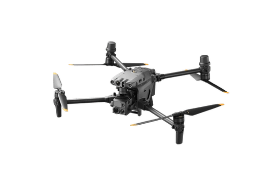
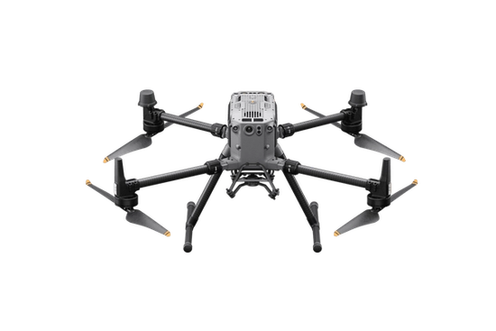
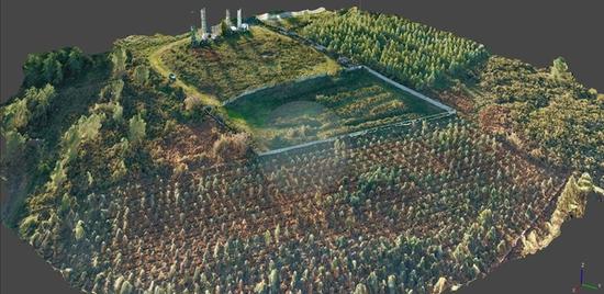
The drones are equipped with the latest technology in high-resolution cameras and advanced sensors. These devices can capture detailed aerial images, generating measurements with millimeter accuracy.
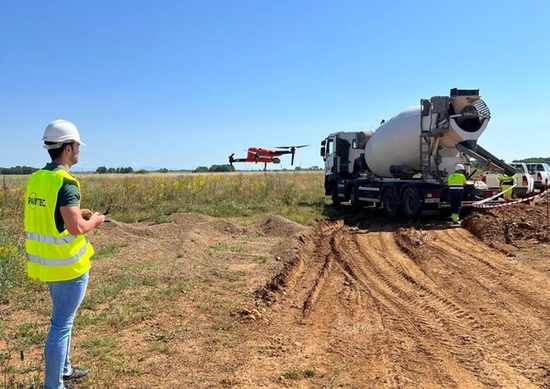
In addition, our drones are capable of operating in difficult conditions and in difficult to access areas, providing essential data without interruption. The ability to transmit data in real time allows for continuous monitoring and more efficient decision-making.
Increased efficiency and time savings
Our drone technology experts ensure the perfect integration of this data into the design and construction process, ensuring operational efficiency, cost reduction and compliance with the highest quality and safety standards.


